Once we know what is
Google Maps on an article on google maps before, now we'll try to make a map on
google maps.
How to use a map on Google Maps ?. Many advantages of the present invention can be used for Internet penguna Google.
Google Maps can be used as broad guidance or instructions from somewhere. So that others can see the direction we did. And it can display additional information or to develop other functions such as providing an overview of the place of business address, location, or simply need to visit your home address or office of ours. Surprisingly, Google Maps can be combined with GPS. Since Google Maps is able to receive files that have been converted to KML GPX files that are used for GPS. Later someone who already has traveled from the point of data points recorded by the GPS device, it can change the way in which the items to be read in KML format for viewing on
Google Maps.
So, how do I create a simple map with satellite images, using
Google Maps ?. The first step is, please access
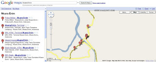
http://maps.google.com/. After log in in using the "username" and "Password" Google Account, we will be taken to a page, like the image below.
The next step is to find where the location of where we're going, for example, Muara enim, then in the "search" content with "Muara Enim" without the quotes. By itself,
Google Maps to display the map of the city or Muara enim. To clarify the picture, enlarge the map image to
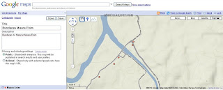
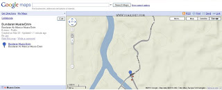
use the structure of "zoom" or use the scroll mouse. "Click on the link "Maps - Satellite - Terrain". After the folder or where we want to be seen clearly, the next step we will map the direction we want. Please click on "Create New Map".
That some to create a simple map with satellite images
using Google Maps.


